


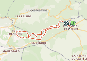

11,5 km | 15,1 km-effort

Utilisateur


Application GPS de randonnée GRATUITE
 SityTrail
IGN / Instituts géographiques
SityTrail World
Le monde est à vous
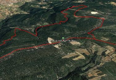
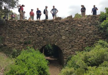
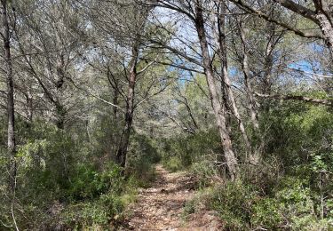
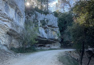
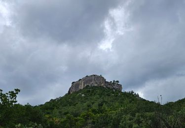
Randonnée Marche de 19 km à découvrir à Provence-Alpes-Côte d'Azur, Var, Le Castellet. Cette randonnée est proposée par FSantoni.
Trés agréable, avec quelques montées raides


Marche

Marche
Marche

Marche
Marche

sport
Marche
sport
Marche